








Wayfinding Design
20 years of expertise in wayfinding. Signage, routes, and on-site information planned as one system, tailored to each space.
View related workExplore InformationExplore SignageExplore Spaces400-629-1588
Wayfinding Information
Every system addresses four essential types of information, organized into a clear hierarchy before being applied to signage.
Recognition
What is this place, and what is it called?
Direction
Which way, and how far?
Positioning
Where are you now?
Details
Can you enter, and when is it open?
Signage Placement
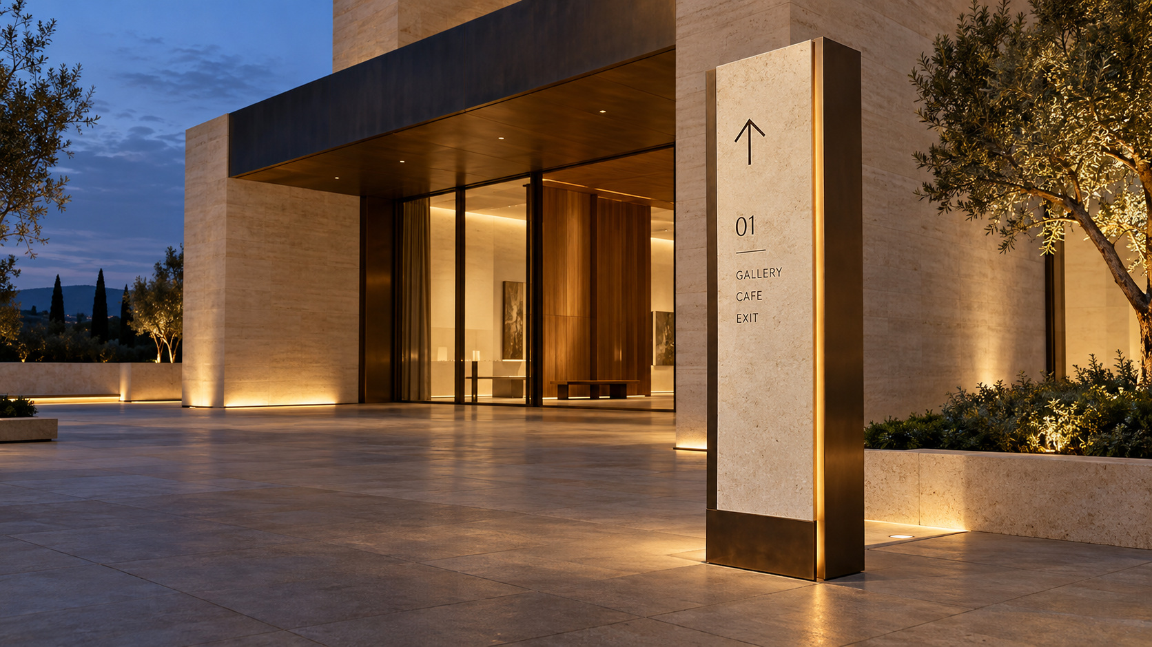
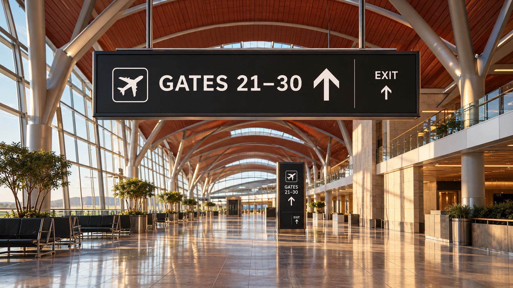
Suspended, freestanding, or wall-mounted. Sign locations are determined by how people move through the space.

Suspended Signage
Positioned overhead to keep walkways clear.
On the SignDirections, destinations, floors
Six Types of Space
Each system is tailored to the space it serves.
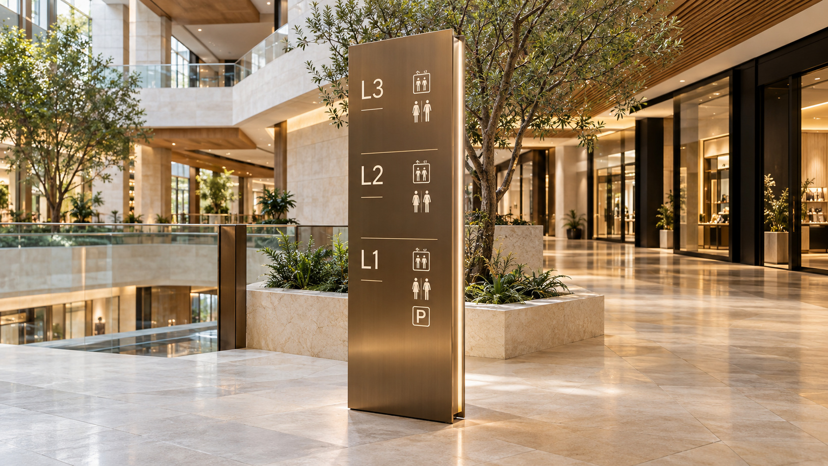
Commercial Spaces
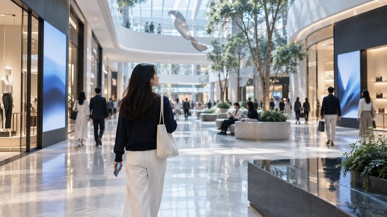
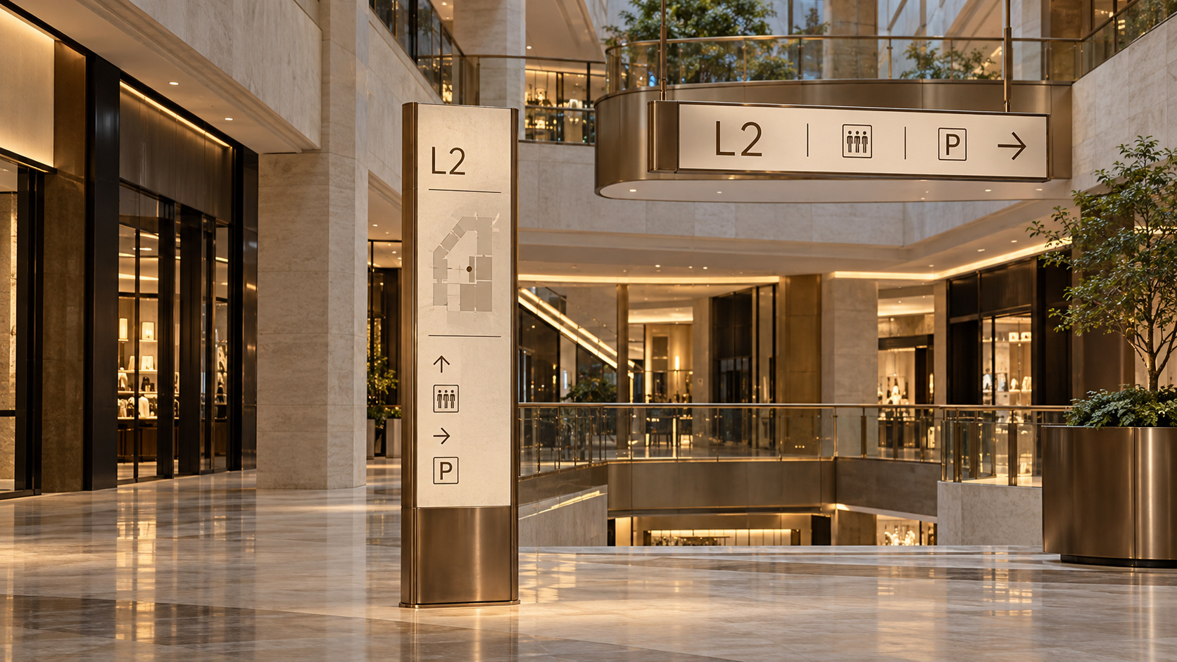
Wayfinding for shopping centers, office buildings, hotels, and other commercial spaces.
On the SignFloor directories, tenants, elevators, entrances and exits, restrooms, parking
Item
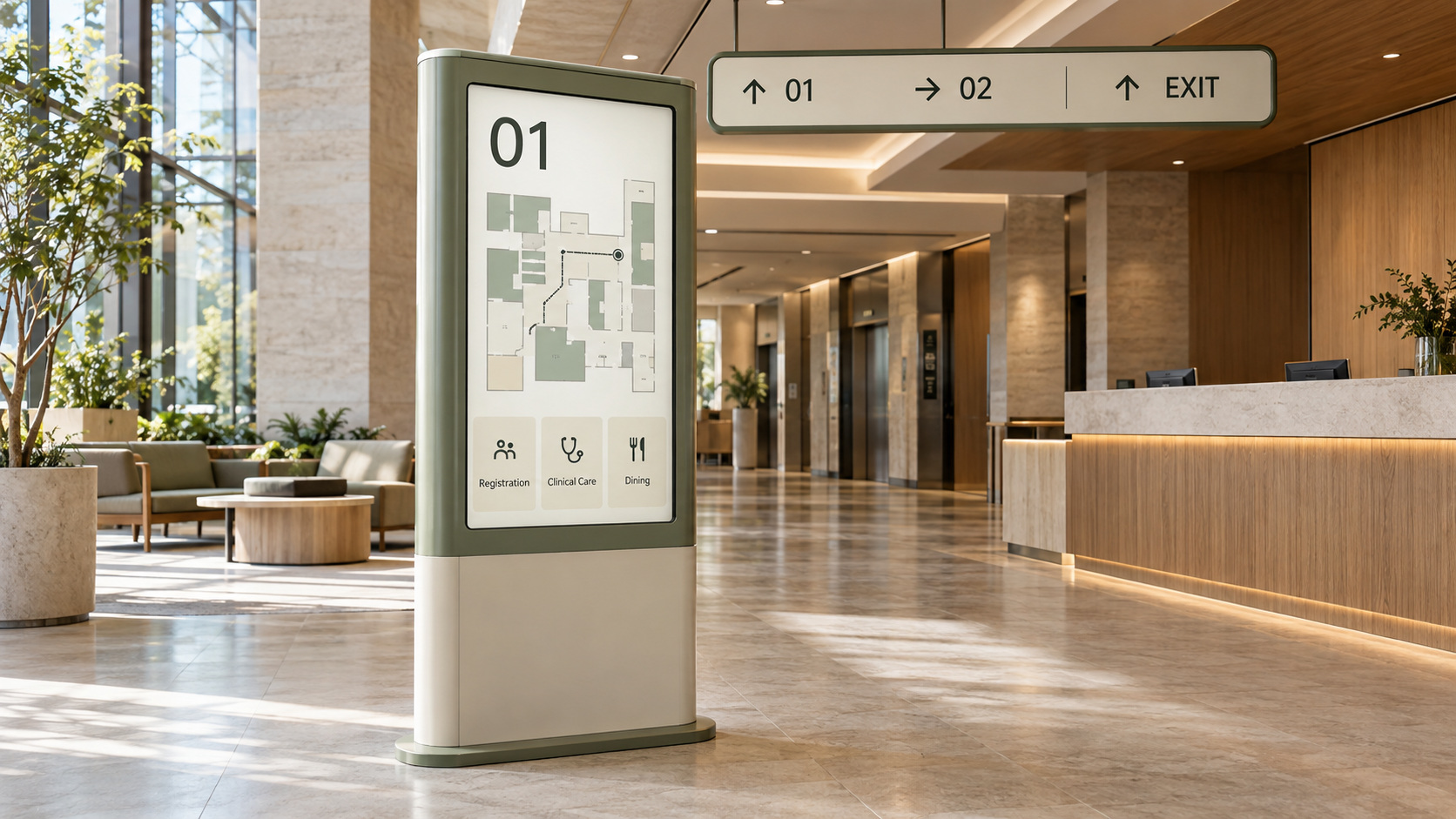
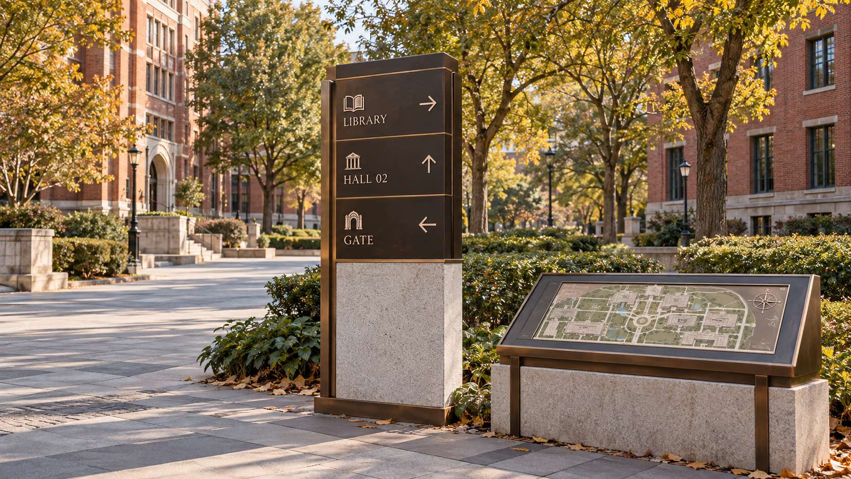
Custom wayfinding systems for hospitals, shopping centers, campuses, airports, exhibition venues, and business parks.
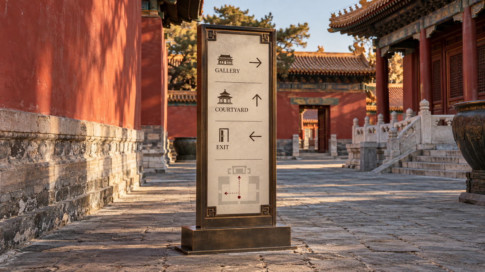
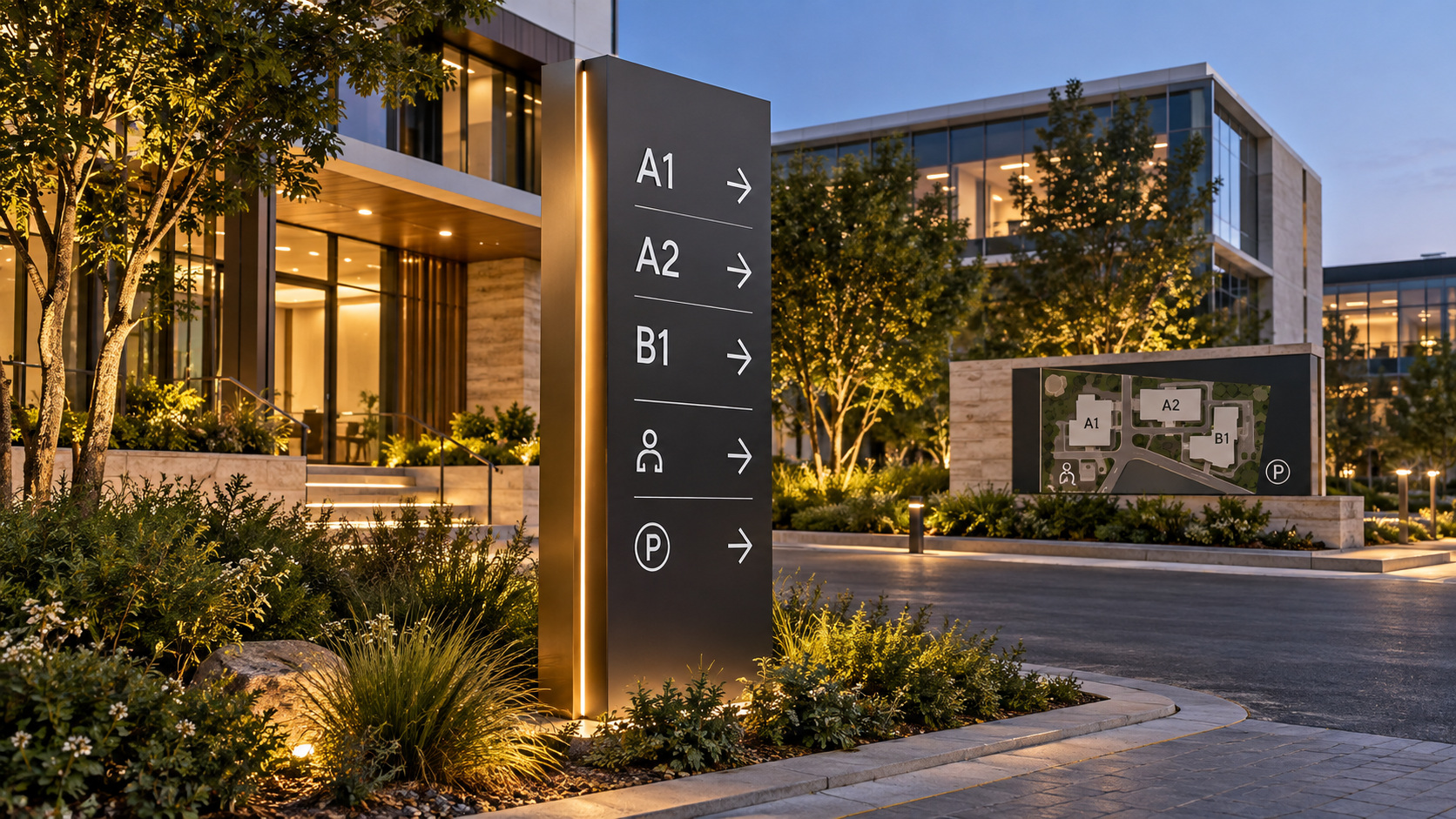
More Wayfinding Work
Ten projects trace the journey from recognizing an entrance to reaching a destination, showing how circulation patterns and information hierarchies shape each design and its application.
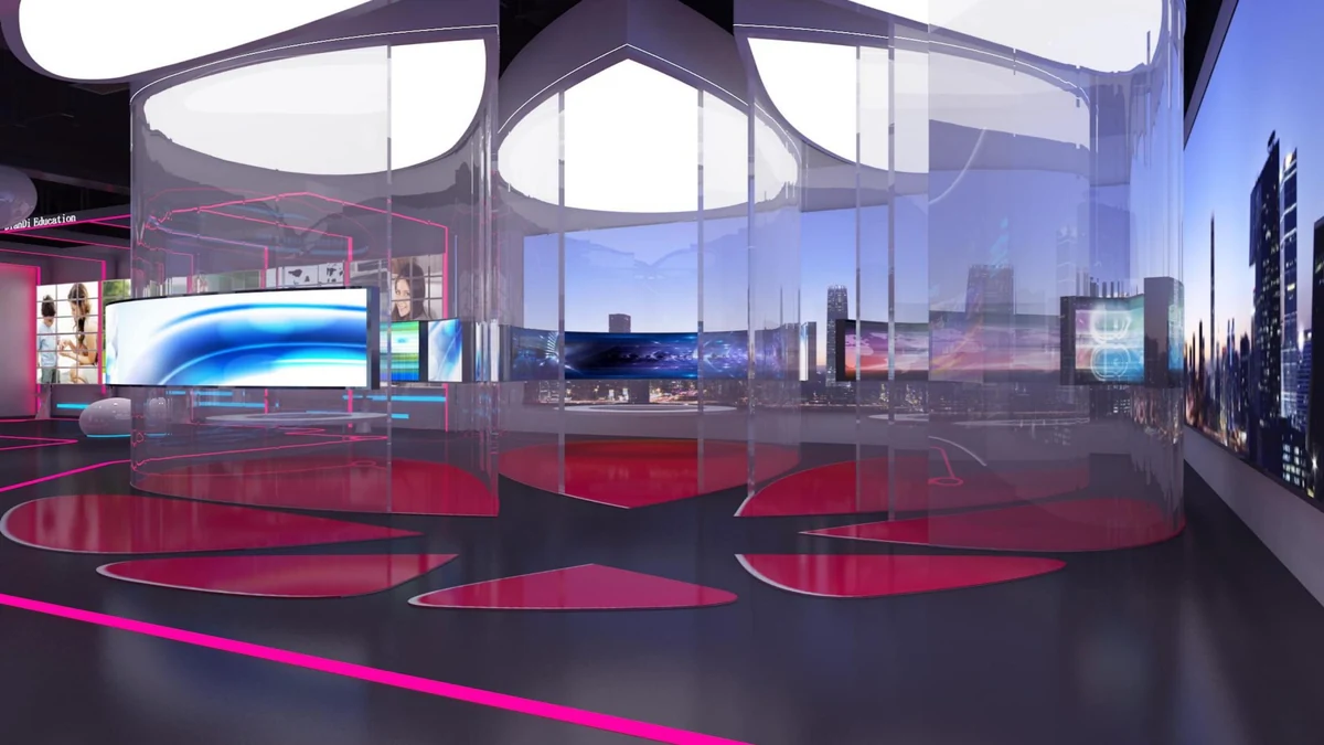
Didi Education
Connect campus entrances, teaching zones, and classroom numbers into a complete visitor journey, with distinct routes for students, parents, and staff. Coordinate floor directories, course notices, and functional signage to keep information updates consistent across daily teaching, exams, and events.
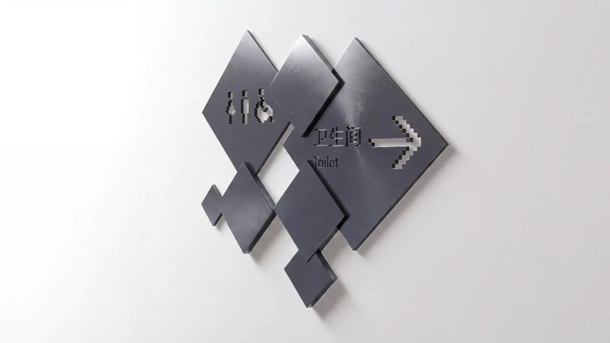
Beijing Science Center
We build a continuous wayfinding hierarchy across campuses, museum clusters, exhibition halls and learning studios, using clear arrows and pictograms that serve children, families and groups alike. Permanent signage is planned separately from changeable content such as exhibition and course information, so exhibitions and events can be switched with ease.
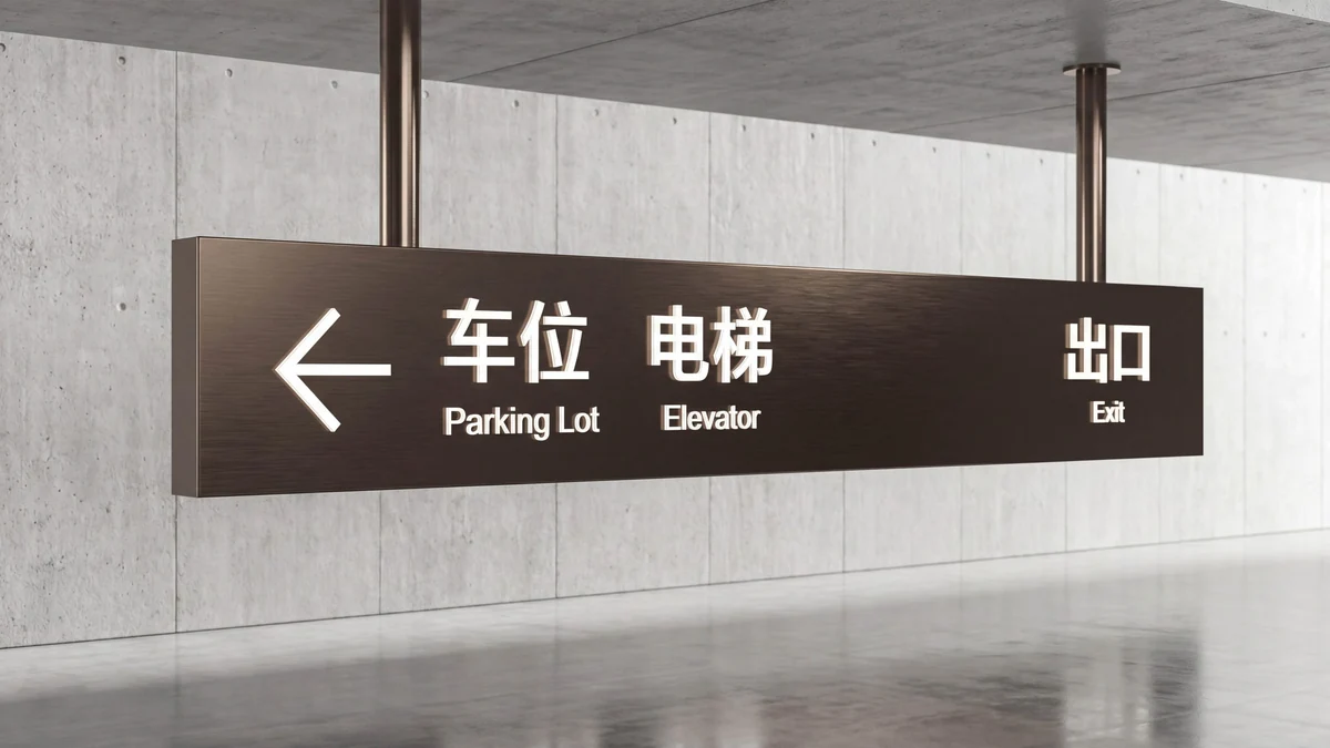
Ruige Hot Spring Hotel
Arrival, guest rooms, dining, meetings and hot spring spa are brought into a single wayfinding system, with a unified typographic and material language linking indoor and outdoor spaces. Particular attention goes to parking entrances, corridor turns and wet–dry transitions, along with night-time legibility and updatable event information.
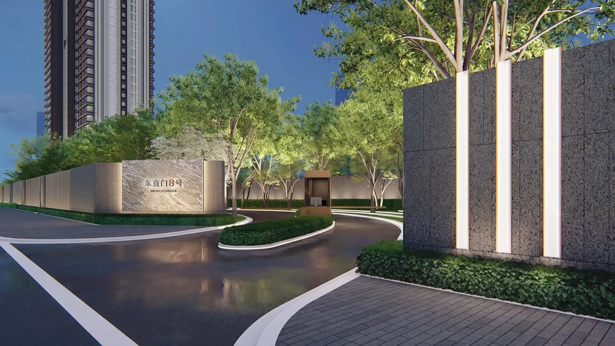
No. 8, Dongzhimen
For complexes with multiple entrances, buildings and modes of transport, we connect the street frontage, towers, supporting retail and underground parking. Clear tower identification and level coding separate office visitors from retail footfall, keeping wayfinding continuous from entrance to destination.
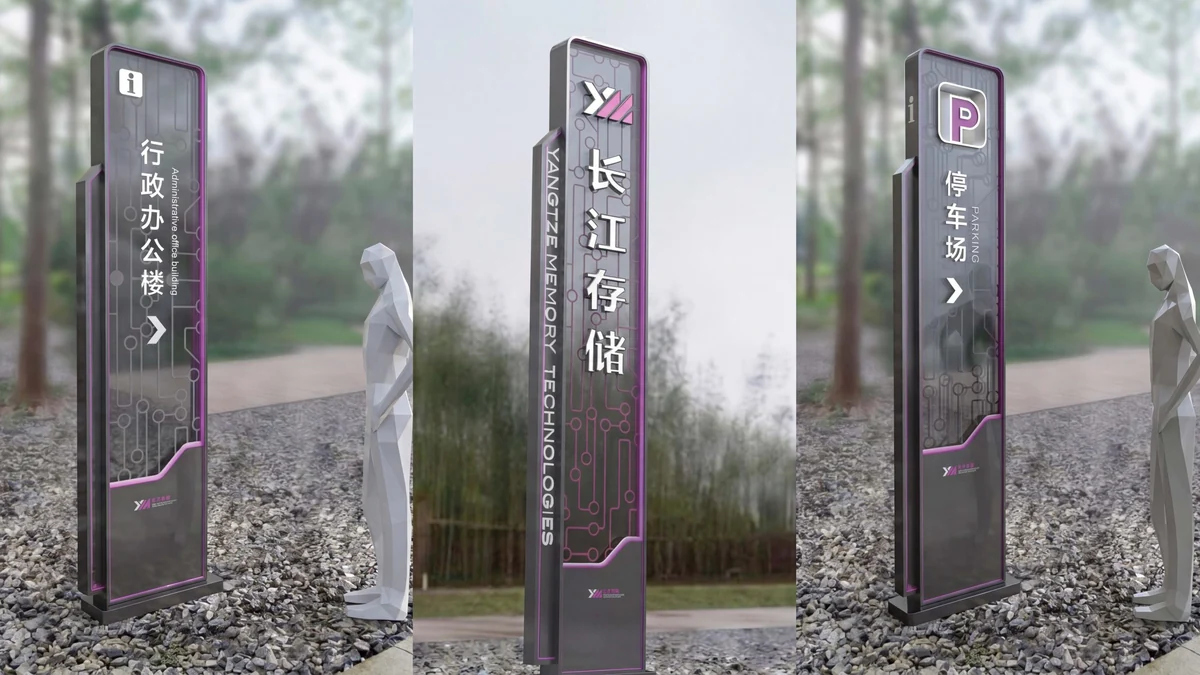
Yangtze Memory Technologies
We create layered wayfinding across park roads, gatehouses, R&D offices and production facilities, with distinct routes for staff, visitors and logistics. Building codes, vehicle directions and pedestrian information are planned as one system, with night-time legibility and access-zone notices suited to everyday park operations.
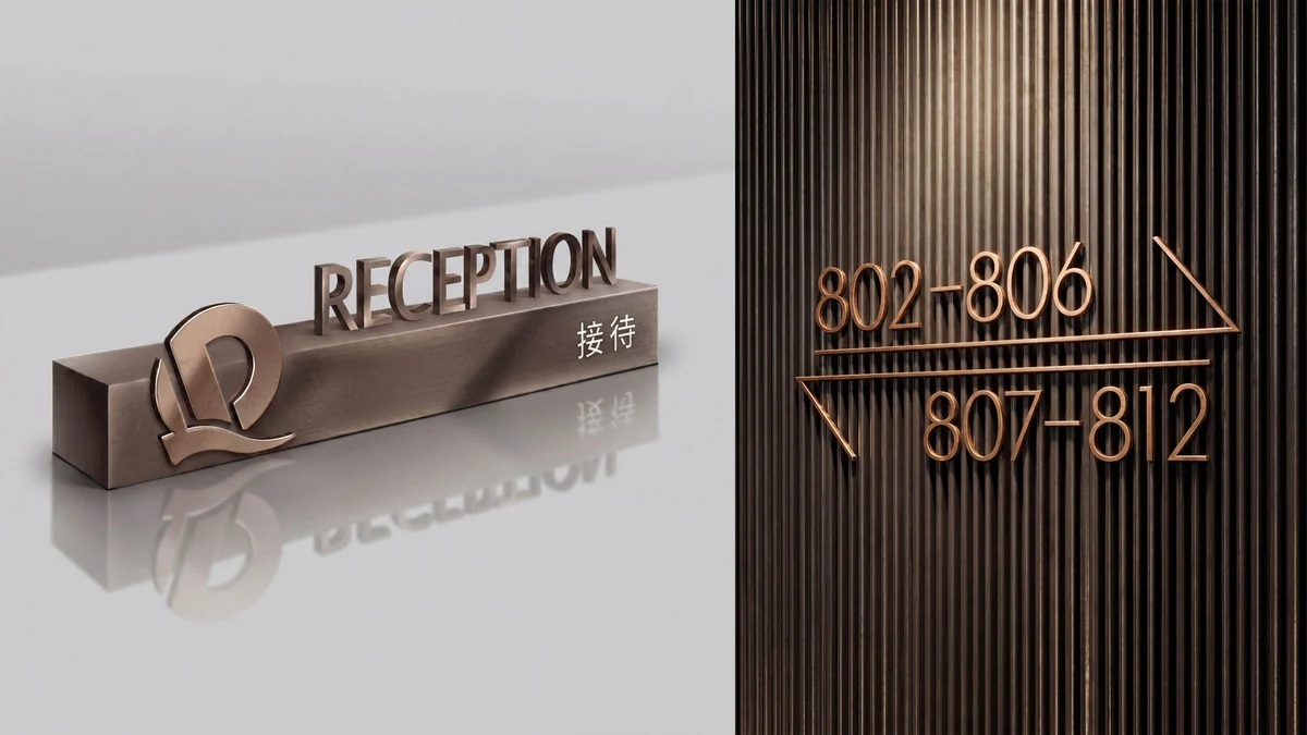
Evergrande Hotel Group
A unified identification language spans the core touchpoints of lobby, guest rooms, dining and meetings, covering both cross-building navigation and interior detail signage. Room numbers, directions and facility information follow a consistent hierarchy, while meeting schedules and event content update independently, keeping service information clear and orderly.
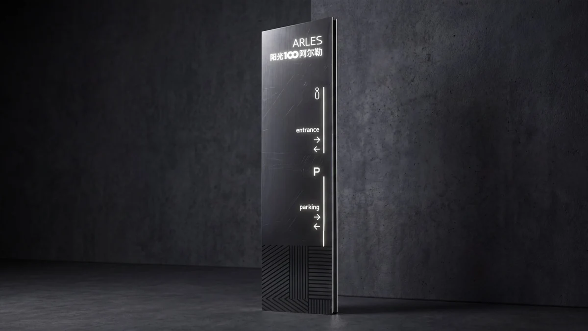
Sunshine 100 Arles
Arts districts, retail amenities and residential spaces are organized into a continuous wayfinding network, clarifying zones and routes in environments shared by visitors and residents. Street, building and door-number information is unified, supporting everyday visits, night-time legibility and temporary guidance during festivals and events.
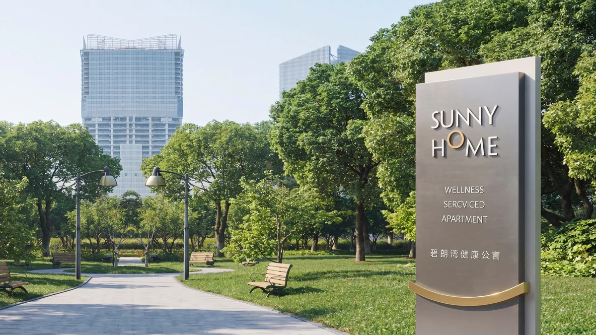
Bilang Bay Health Apartment
Designed for long-stay residents and wellness guests, signage for grounds, buildings, floors and rooms follows a clear hierarchy with minimal cognitive load. Shared amenities and barrier-free routes are planned together, emphasizing legibility, easy navigation and gentle prompts, so guidance to care, dining, activity and living spaces feels more welcoming.
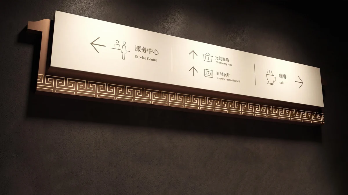
China National Archives of Publications and Culture
Wayfinding follows the building's axes, courtyards and exhibition hierarchy, keeping signage in scale with the overall order of the cultural space. Guidance moves from overview to zone, gallery and visitor services, distinguishing permanent identification from changeable information such as temporary exhibitions and lectures, serving both visitors and operations.
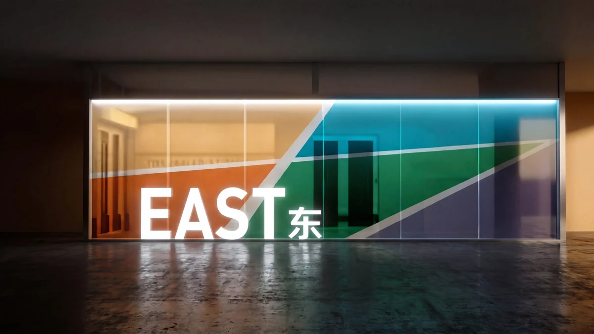
Oriental New World
In retail environments with multiple entrances, levels and formats, we unify atrium directories, tenant zoning and vertical circulation information. Street-level walkways, underground parking and public services are connected, with an update mechanism built in for tenant directories and event information, keeping identification consistent across every zone.
Four kinds of sign
Each kind has its own read distance and its own job.
ID
Identity
Read distance18–40 m
Tells people they have arrived. Only before the entrance; inside, floor numbers take over.
DR
Directional
Read distance12–18 m
Speaks only at decision points. Arrow and destination share one weight; no adjectives.
DX
Directory
Read distance3 m
At atriums and lifts, one map per floor. Content modules swap; base and type stay.
RG
Statutory
Read distance8 m
Fire, accessibility, parking, restrooms. Pictogram first, then bilingual text.
Placement rules
- Only at decision points
- No adjectives or pleasantries
- Pictogram before text
- Chinese and English together
- Every point has a unique code
How We Work
Four steps to on-site delivery.
Research
Analyze visitor circulation and define wayfinding needs.
Design
Signage, placement and layout planned as one system.
Production & Installation
Fabrication, installation and on-site commissioning.
Training & Maintenance
Handover to operators, with ongoing refinement.
Connecting industry expertise with project needs.
Explore industries, service applications and international projects shaped around the brand and experience needs of large enterprises.