








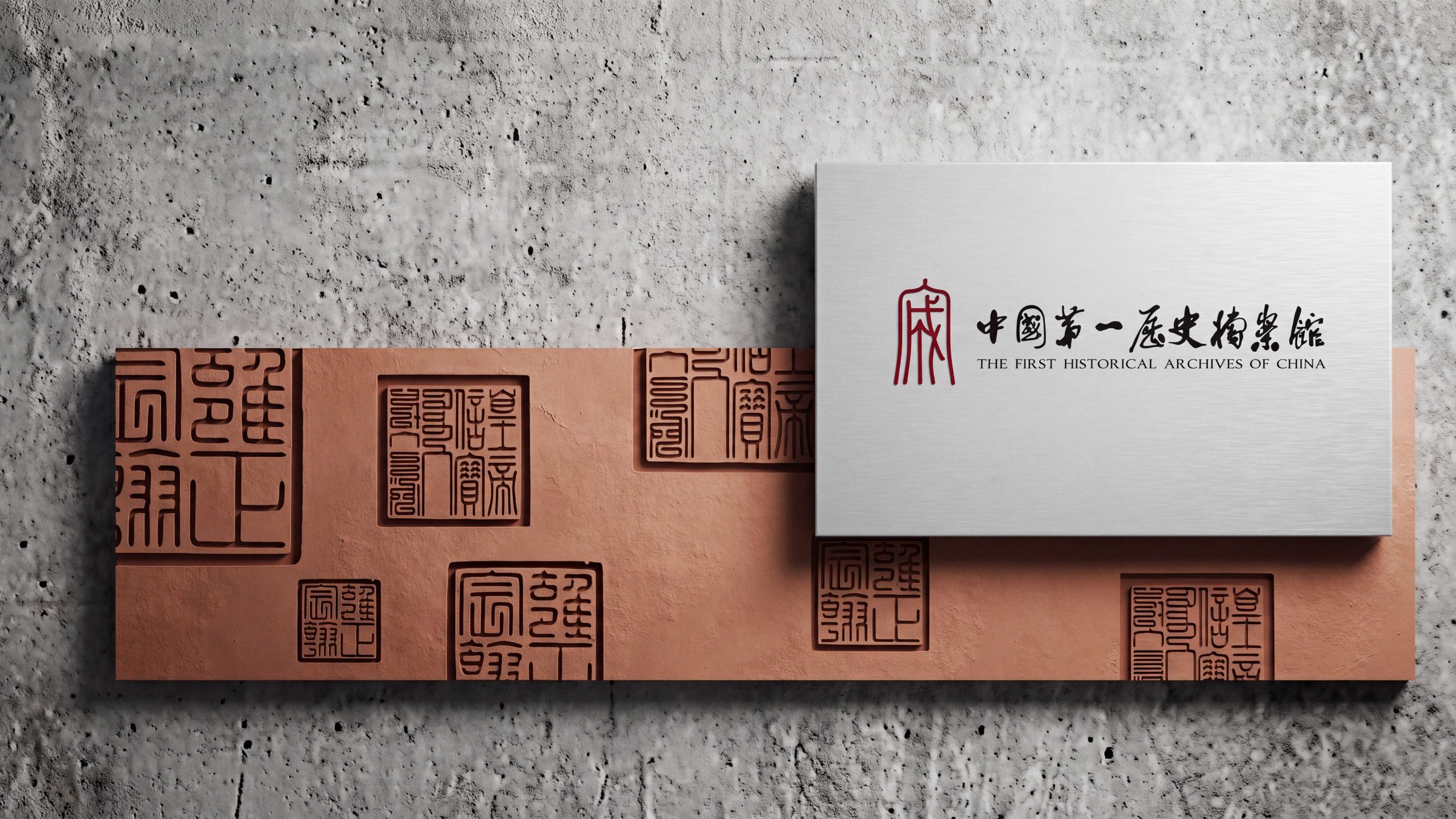
Wayfinding system development for the National Archives of China. Project scope encompasses perimeter arrival, main pavilion clusters and courtyard zones, exhibition and collection circulation, academic exchange and public services, visitor amenities and cultural retail, accessibility and emergency evacuation.
The overarching objective: within the hybrid context of 'national-level archival preservation + public cultural exhibition,' construct a wayfinding system that is replicable, low-maintenance, and scalable. Respecting architectural protocol and landscape order, achieve 30-second orientation establishment for first-time visitors, 3-step pathway decision-making in key exhibition zones, and controlled operations during peak visitor flow.


Assess the current state and define the goal
Site assessment and visitor profiling revealed: insufficient arrival continuity across multiple entrances; sparse wayfinding at axis–courtyard–gallery transition points; frequent temporary exhibitions degrading information currency; inconsistent multilingual and accessibility information hierarchy. Three categories of quantitative targets were established: Directional continuity: 100% advance notice and milestone confirmation at critical turns, secondary confirmation every 12–15 meters in corridors and courtyard circuits. Reading stability: establish 'font size—contrast—illumination—reflectance' parameter library across three viewing distances (outdoor/lobby/exhibition zone), ensuring legibility in rain, snow, and night conditions. Operational efficiency: modular templates across fixed/variable/temporary categories, enabling 5–10-minute updates for temporary exhibitions, lectures, and flow diversion materials.
System Methodology and Coding Framework
One grid: unified 8pt/4mm modular system governing panel layout and component tooling, adapted to plaque scale and axial ceremonial proportions; non-invasive installation utilizing existing nodes, ensuring cultural heritage safety. Two viewing distances: far (30–80m) for gatehouses, axial nodes, and plaza directories; near (1–10m) for pathway directives, exhibition information, and service prompts; minimum font size, contrast, and illumination thresholds defined for each. Three carrier types: fixed signage (gatehouse identification, master plans, zone markers, floor directories), variable information (exhibition notices, lectures, reservations and time-slot management), temporary guidance (peak queue management, unidirectional routes, construction and severe weather contingencies). Four-tier coding: campus—building—floor—gallery/function point (alpha+numeric), integrated with reservation ticketing, security clearance, and docent service systems. Five implementation phases: baseline survey—prototype daylight and reflectance testing—pilot calibration—campus-wide deployment—asset registry and operational SOP handover.
Visual and information rules
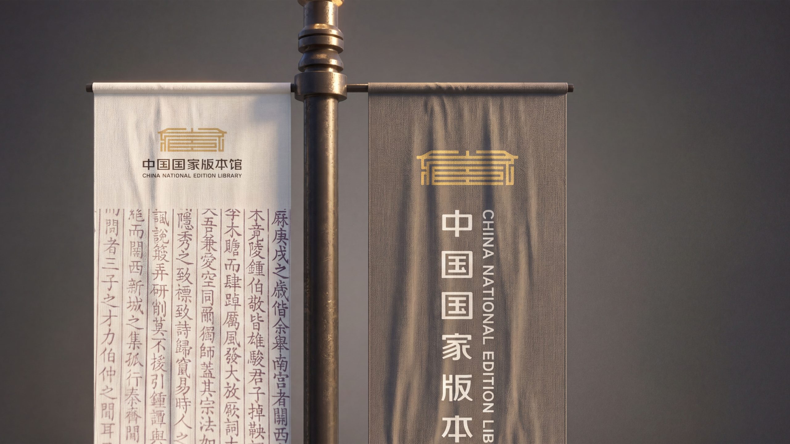
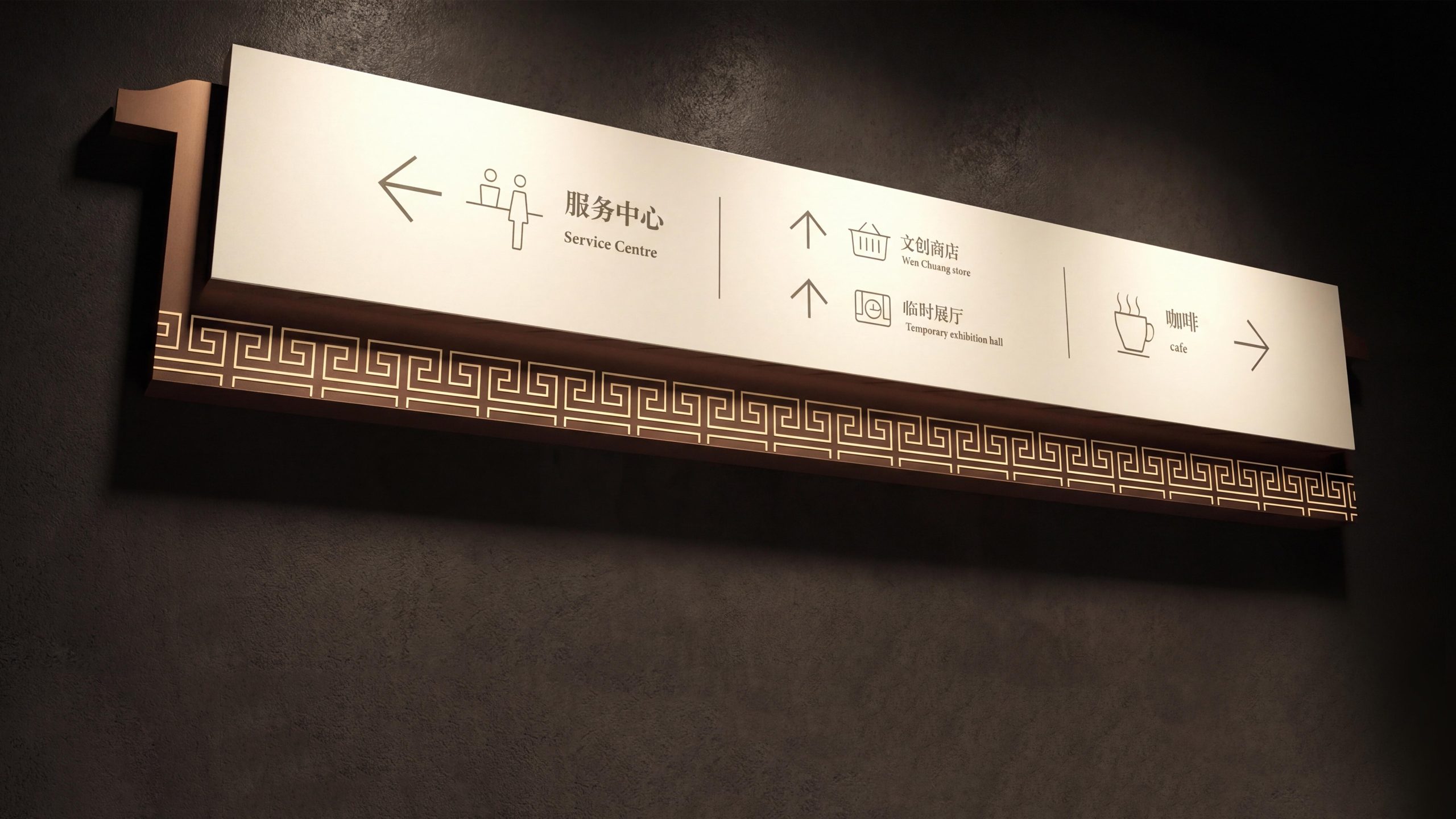
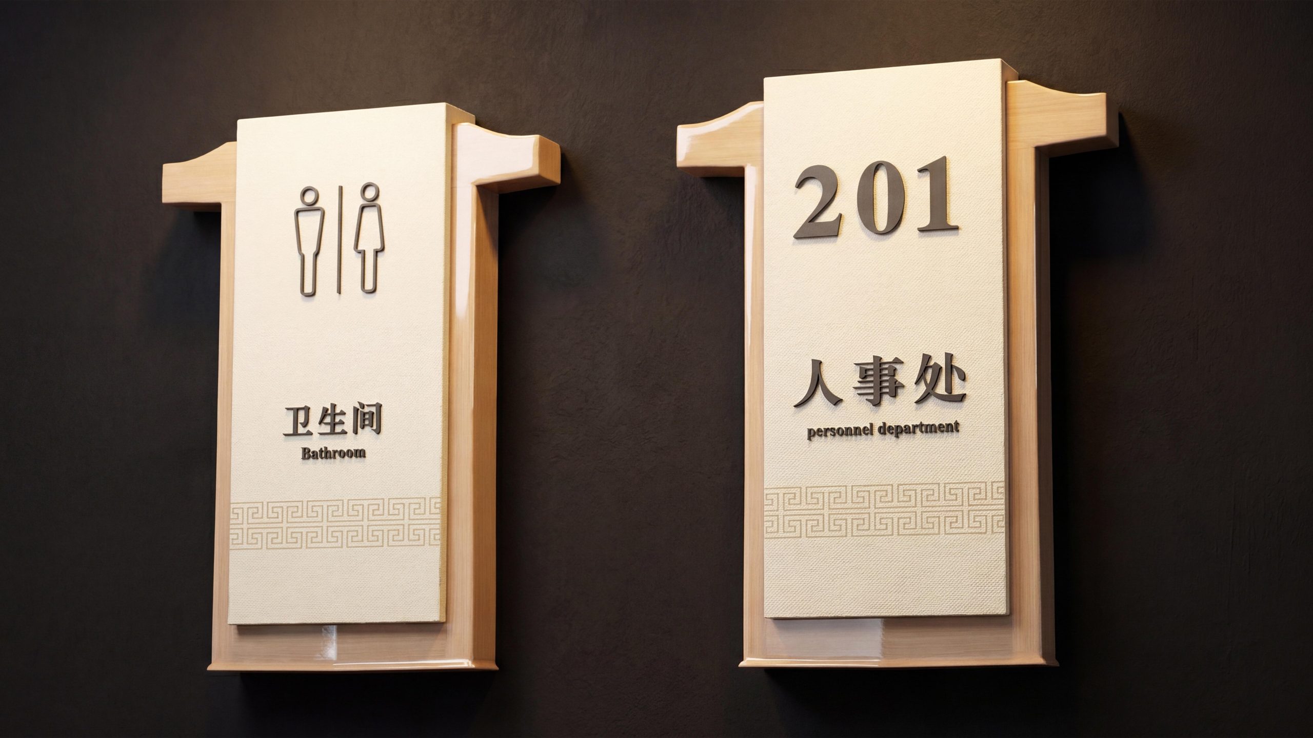
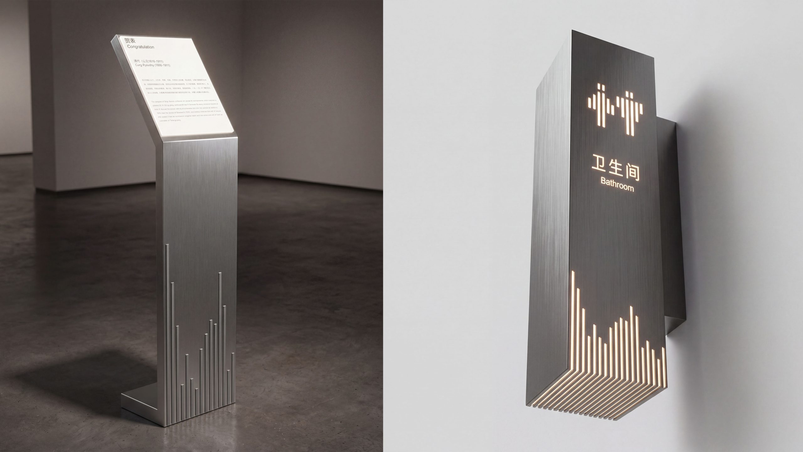
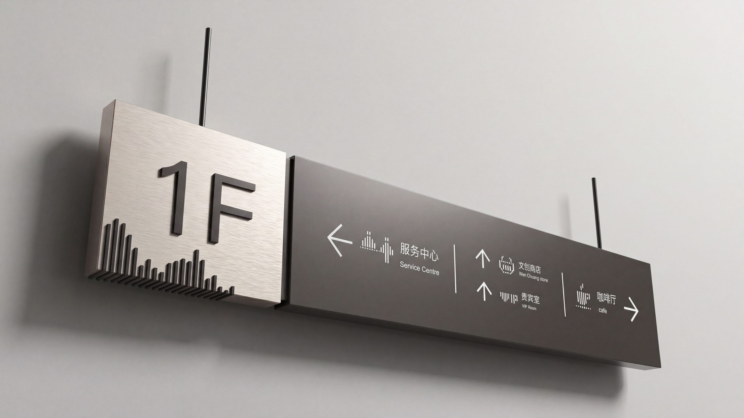
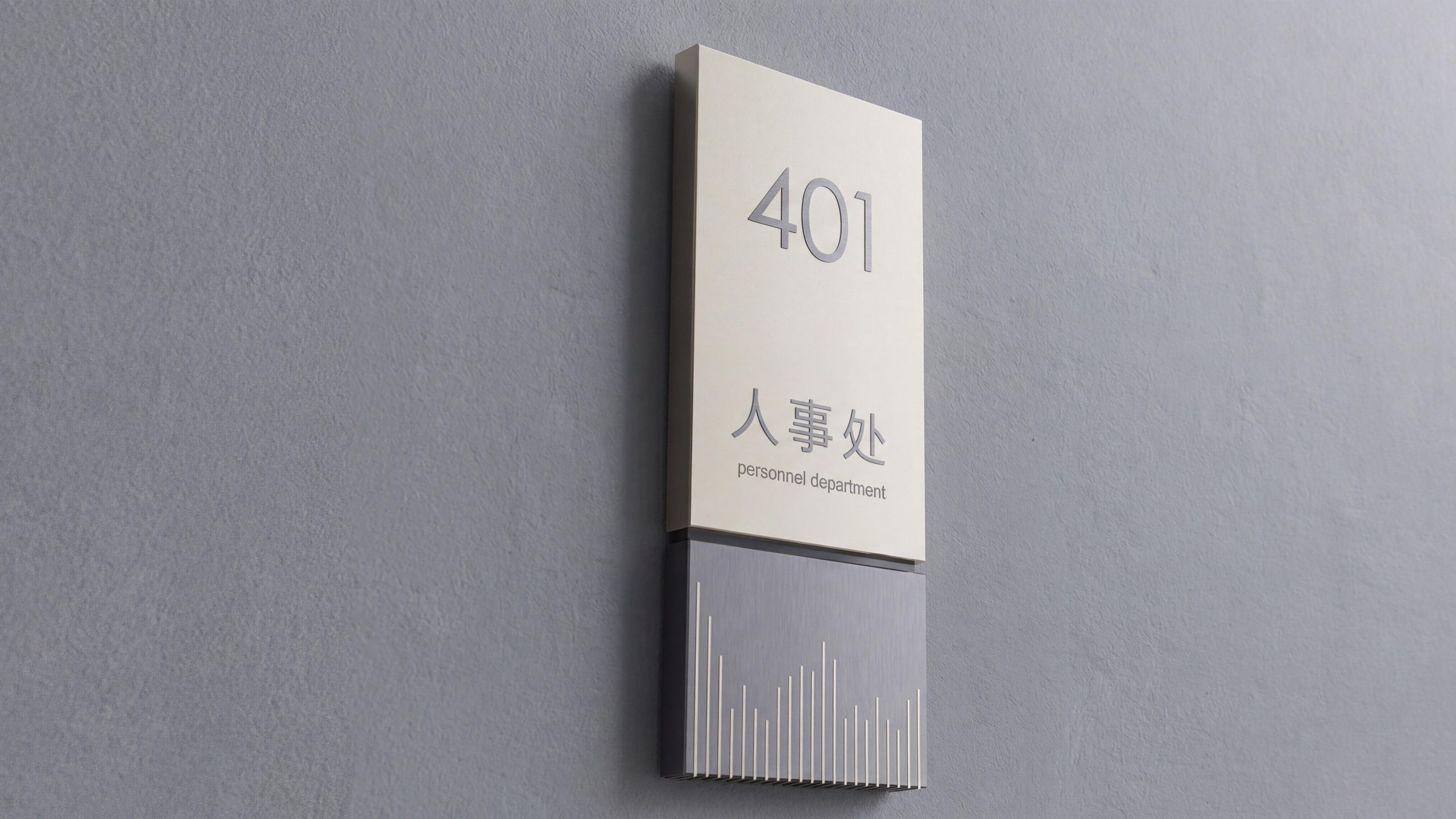
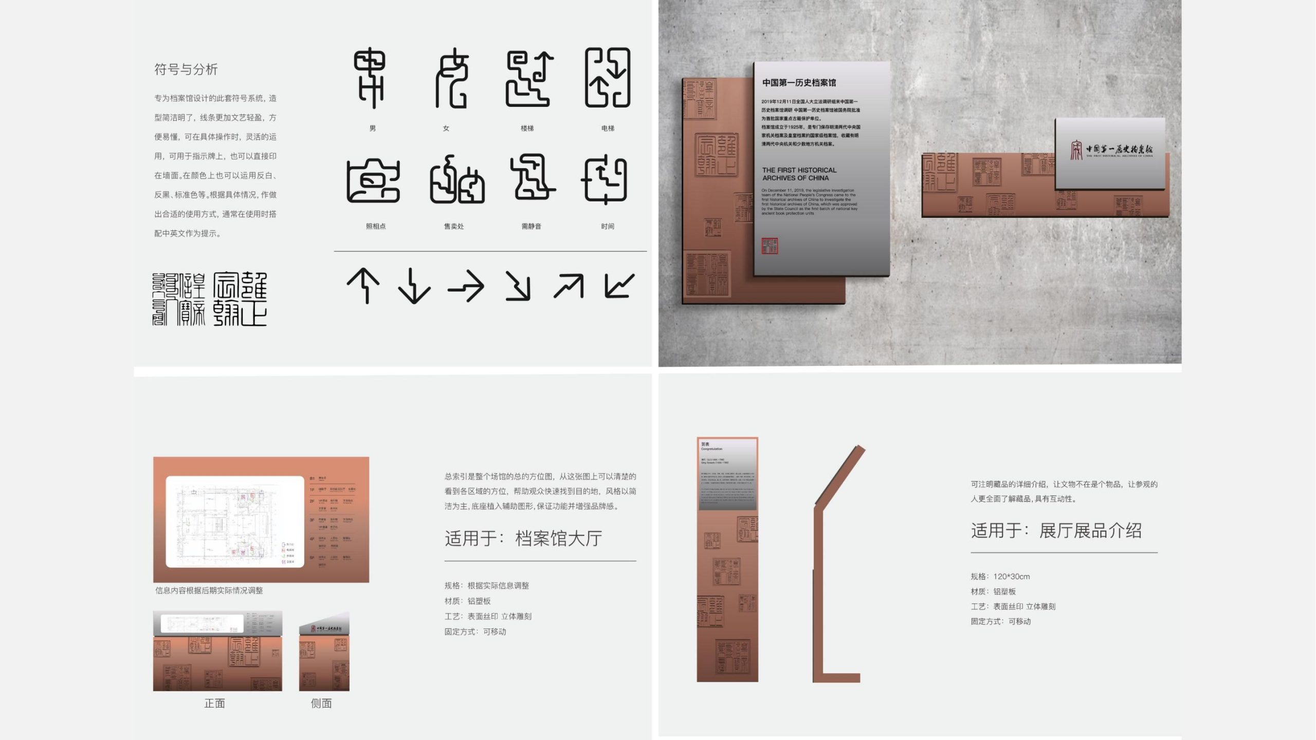
Color: 'palace red/slate gray/limestone white' as environmental harmony foundation, information layer employs high-contrast black and white, functional emphasis uses restrained gold and safety yellow; heritage zones and no-photography areas assigned dedicated color bands. Typography and languages: highly legible sans-serif Chinese primary, English secondary; key zones augmented with pinyin; numerals and times use monospaced fonts ensuring alignment. Font size hierarchy: far-distance primary identification ≥140mm; node zone markers 60–90mm; directional 30–40pt; rules and ticketing notices 18–24pt; accessibility and safety information priority-elevated. Icons and arrows: redrawn to ISO and accessibility standards, expanded pictogram set includes 'archive vault, scroll display, reading room, silent zone, cultural retail, nursing room, audio guide, temporary exhibition'; arrows, numbers, and color bands share line weight and corner radius. Optics and materials: 4000–4300K neutral glare control; panel matte micro-texture lamination; outdoor weather-resistant metal with stone bases, courtyard wood-tone finishes with concealed fasteners, controlling reflection and visual interference.
Circulation Organization and Scenario Implementation
Perimeter arrival: illuminated gatehouse identification with high-pole directional signage, separated lanes for vehicular/pedestrian/group drop-off; ground guide lines connecting directly to security and ticketing hall. Central axis and circuits: axial nodes employ two-part panel format 'node directory + circuit recommendation'; courtyard circulation provides advance notice at turns with milestone confirmation markers reducing backtracking. Exhibition and temporary shows: gallery entrance panels include 'exhibition title—opening hours—viewing route—restrictions (no photography/silence/capacity limits)'; temporary exhibition templates enable one-click theme color swaps. Academic and services: research assembly points, lecture and observation rooms marked with 'code—course/session—time slot—staging area'; service system (information, water, restrooms, accessible elevators, cultural retail, dining) unified icons and mounting heights. Accessibility and special populations: ramps/low-mounted panels/tactile guidance deployed as integrated sets; senior and child-friendly prompts in dense zones augmented with 'distance to rest points and shelter information.' Safety and emergency: evacuation maps, assembly points, AED and fire equipment using unified high-contrast templates; rain/snow and congestion triggers activate unidirectional routes and zoned capacity-limiting protocols.
Delivery and operation and maintenance mechanism
Operational loop: establish 'asset registry + template library + data integration.' Each sign assigned unique code, installation coordinates, material specification, and maintenance log; interfaces with reservation and session systems, auto-generating daily exhibition and lecture boards with local print capability. Update efficiency: variable-position single-person replacement within 5 minutes; flow diversion and emergency templates deploy/remove within 1 minute; night mode automatically adjusts contrast by time slot. Deliverables checklist: wayfinding master plan and positioning drawings, layout and icon manual, coding and naming standards, heritage-sensitive installation specifications, hardware exploded views and material bills, optical and illumination parameters, emergency template library, operational SOP and training materials. This solution provides high legibility, high safety, and high maintainability wayfinding order without compromising architectural and site spirit, supporting the National Archives of China's long-term stable operations and dual objectives of academic and public service.