




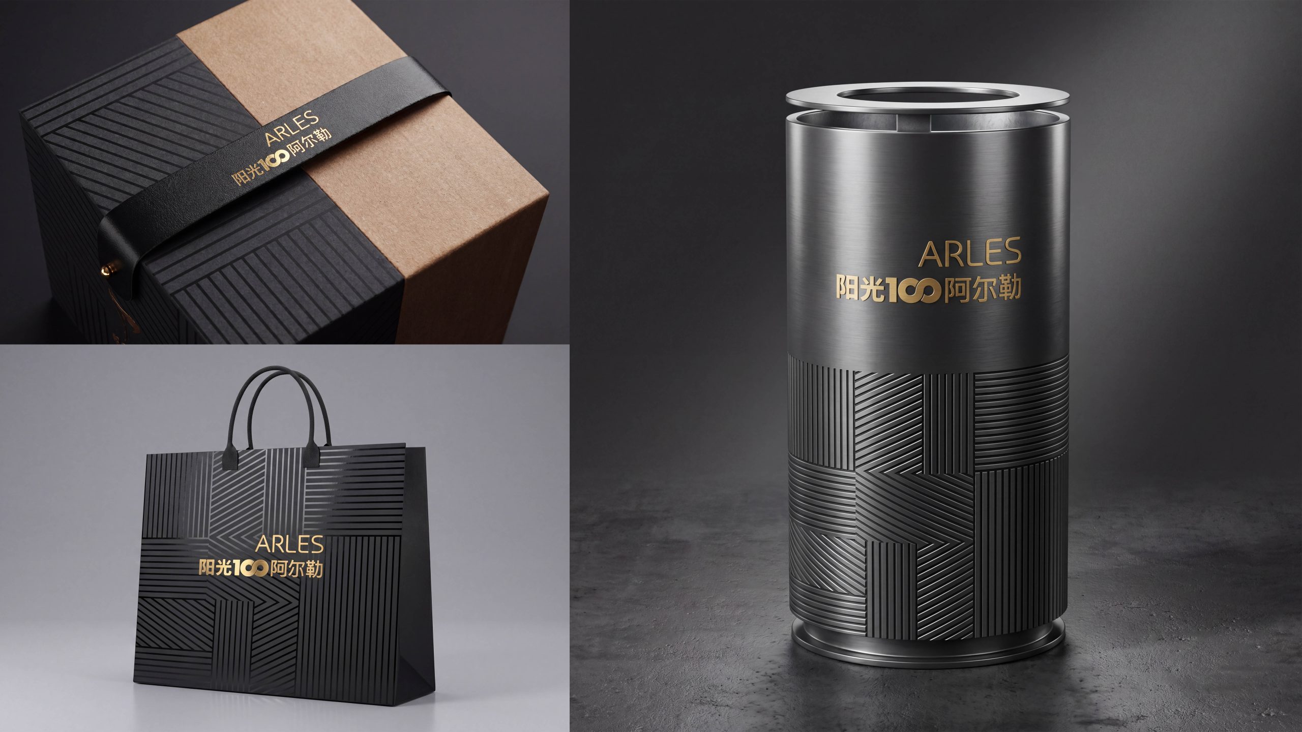
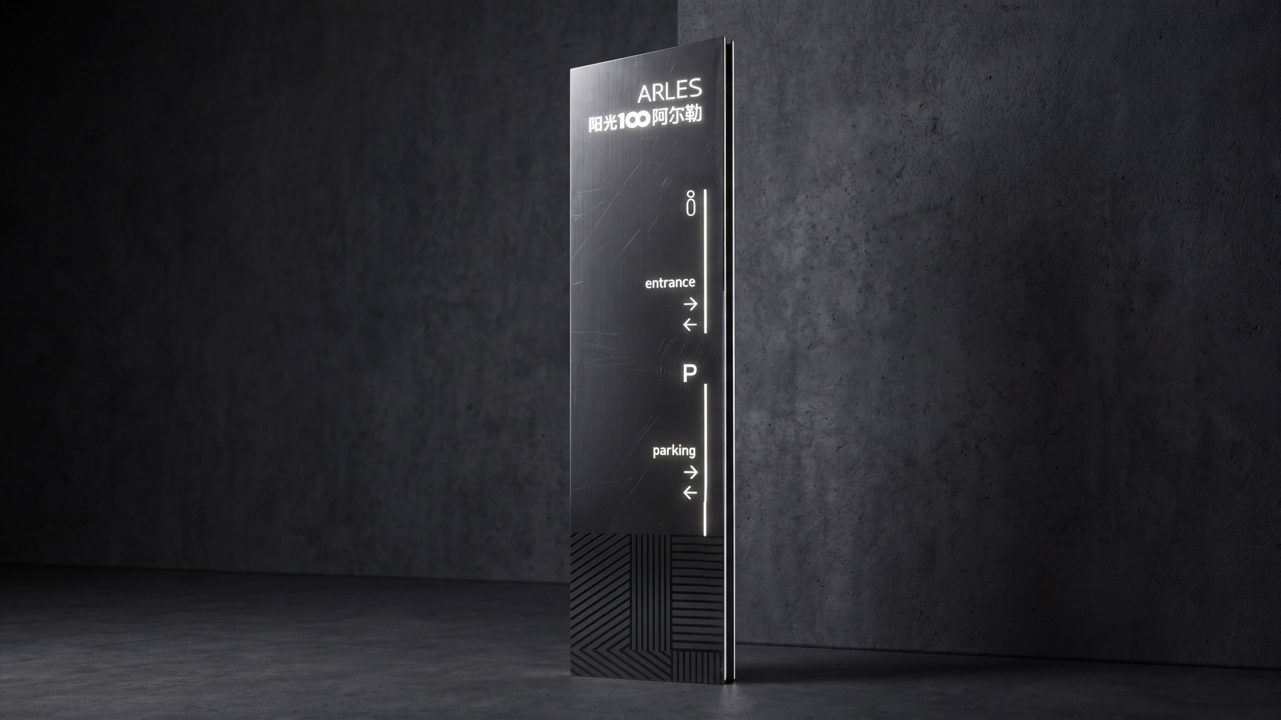
Wayfinding system for Sunshine 100 Arles. The scope spans the urban arrival interface, external pedestrian and vehicle circulation, the art district and retail amenities, residential areas and property services, parking and metro/bus connections, and accessibility and emergency evacuation systems.
Within a setting of “mixed uses, tourists and residents side by side, and day-and-night operation,” the goal was a replicable, low-maintenance and scalable wayfinding system: first-time visitors gain a sense of direction within 30 seconds, route decisions to residential and retail cores take no more than three steps, and order and aesthetic consistency hold over the long term.
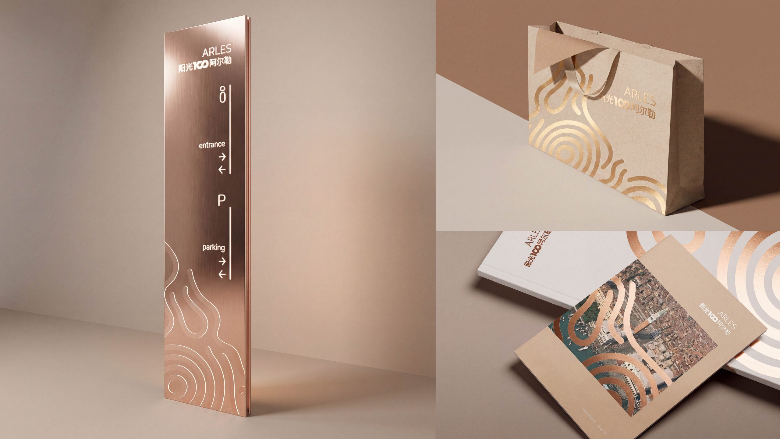
Assess the current state and define the goal
Site surveys and visitor heat-map analysis revealed fragmented identification at the urban interface, no advance notice at turning points in the art district, inconsistent styles between residential building numbers and retail storefront signs, a disconnect between underground parking and surface circulation, and reflections impairing legibility at night and in rain or snow. This led to three quantified goals. Continuous guidance: advance notice and confirmation markers at 100% of key turns, with reconfirmation every 12–15 m along long passages and pedestrian streets. Stable legibility: three viewing-distance parameter libraries for vehicles, pedestrians and underground spaces, defining thresholds for type size, contrast, illuminance and reflectance. Efficient operations: templates for fixed, variable and temporary information, enabling tenant, event and crowd-flow updates in 5–10 minutes.
Systematic Strategy and Coding System
One grid: A unified 8 pt/4 mm module runs through sign layouts and component tooling, ensuring a consistent look across zones and construction phases. Two viewing distances: 20–60 m for vehicles and 1–15 m for pedestrians; underground spaces use high-contrast, light-guiding edge solutions, each with defined minimum type sizes and illuminance thresholds. Three carrier types: fixed signage (gateways, site overviews, zone/street signs, building and floor directories), variable information (tenant directories, event posters, temporary closures/construction) and temporary guidance (festival crowd management, one-way routes, severe-weather contingencies). Four-level coding: site – zone (art district/residential/retail) – building/street – door/unit number (letters + numerals), linked with visitor booking, property management, parking and tenant directory systems. Five-step rollout: baseline survey – day/night and rain/snow prototype testing – pilot calibration – site-wide implementation – handover of asset register and operations SOP.
Visual and information rules
Color system: Lime white and graphite gray form the information base, with “Arles Yellow” and a muted ultramarine as functional accents, echoing the character of the art district; safety and emergency signage uses high-contrast red and yellow, with prominent yellow bands added underground and in parking areas. Typography and sizing: Highly legible Chinese and Latin sans-serif typefaces in equal weight; primary vehicle identification ≥140 mm, zone signs 60–90 mm, directional text 30–40 pt, rules and directories 18–24 pt; door and parking-space codes use monospaced figures. Iconography: Compliant with ISO and accessibility standards, covering metro/bus, parking, elevators, restrooms, nursing rooms, accessibility, AED, visitor services, art installations and more; arrows, numerals and color bands share stroke-width and corner-radius parameters. Layout order: Left-aligned, evenly spaced columns and fixed leading; reading sequence “Where am I – Where to – How to get there – Which floor/number – What to note.” Optics and materials: 4000–4300 K neutral, glare-controlled light sources; matte laminate or fine-texture baked enamel on information faces; outdoor elements in weather-resistant aluminum/stainless steel with anti-graffiti coating, balancing nightscape and glare control along pedestrian streets and landscape nodes.
Circulation Organization and Scenario Implementation
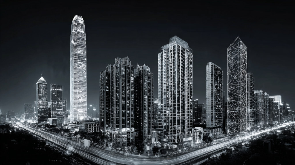
Urban arrival: Tall directional pylons and illuminated gateway signage create two visible faces; metro entrances and bus stops list “nearest entrance / art district / retail core”; floor guidelines at the drop-off zone lead directly to the atrium and visitor service point. Art district and retail: Entrances lead with “zone overview + today's events + recommended routes”; advance turn notices appear before street corners, and low-key signs beside art installations offer “installation notes + photography etiquette.” Tenant directories are structured as “district – category – tenant – location code.” Residential and property services: Vehicles and pedestrians are separated; building lobbies use a four-level index of “zone code – building – entrance – floor”; property service desks and parcel/visitor kiosks share unified guidance. Parking and connections: Parking areas use color bands plus zone letters for quick orientation; elevator lobbies show “nearest exit / tower / retail entrance”; “return to your car” prompts at ground level reduce disorientation. Public services and accessibility: Restrooms, nursing rooms, water points, first aid and rest areas share unified icons and mounting heights; accessible elevators, ramps, low-mounted signs and tactile guidance are deployed as a complete set. Safety and emergency: High-contrast templates for evacuation maps, assembly points, fire equipment and AEDs; during festivals and markets, one-way routes and zone capacity notices are activated, with alternative routes for severe weather.
Delivery and operation and maintenance mechanism
Operations loop: An integrated system of “asset register + template library + data linkage.” Every sign carries a unique code, installation coordinates, material specification and maintenance record; the system connects with tenant and event platforms to automatically generate daily directories and event boards, exportable for local printing in one click. Update efficiency: Variable panels can be replaced by one person in 5 minutes; crowd-flow and emergency templates can be deployed or removed within 1 minute. Deliverables: Master wayfinding plan and location drawings, layout and icon manual, coding and naming conventions, hardware exploded views and bill of materials, installation and illuminance parameters, emergency template library, operations SOP and training materials. Through this system, Sunshine 100 Arles preserves its artistic atmosphere and sense of everyday life while achieving a clear urban interface, smooth on-site circulation and a professional wayfinding order that is maintainable for the long term.