








Wayfinding system for the Oriental Plaza mixed-use complex. The scope covers the streetscape interface, above- and below-ground connecting corridors, the central atrium, vertical circulation, retail zoning, parking, and fire and emergency systems.
The goal was a replicable, maintainable, scalable wayfinding system for a complex of multiple entrances, levels and interlocking retail formats. First-time visitors should be able to orient themselves within 30 seconds, and returning customers should reach any store in three steps. Operations would gain standardized management.
Assess the current state and define the goal
Site surveys and footfall sampling revealed an inconsistent entrance signage hierarchy and insufficient confirmation at corridor turns. Temporary materials interfered with the main system, underground parking was disconnected from street-level circulation, and night-time reflections impaired legibility. This defined three goals. Wayfinding: no disorientation at key nodes, advance notice of turns, and distance confirmation points along longer routes. Legibility: viewing distance, type size and contrast matched one-to-one for reliable reading around the clock. Operations: templated variable information, updates in 5–10 minutes, and consistency across all buildings.
Methodology (Systematic Strategy)
A structured methodology: “one grid, two viewing distances, three carrier types, four-level coding, five-step implementation.” One grid: a unified 8pt/4mm module runs through sign layouts and hardware tooling for a consistent look across zones. Two viewing distances: long range (10–30 m) for the streetscape interface and atrium indexes, and short range (1–7 m) for route instructions and rules, each with its own type size, contrast and illuminance thresholds. Three carrier types: fixed signage (storefronts, floor directories, zone signs), variable information (tenant directories, events, temporary closures) and temporary guidance (peak-hour diversion, maintenance detours, incident response), with unified magnetic/slide-in interfaces. Four-level coding: building, floor, zone and unit (letters + numbers), linked to tenant, fire and parking systems and designed to scale. Five-step implementation: survey and modeling, prototyping, pilot calibration, full rollout, and handover of the asset register and SOPs.
Visual and information rules
Color: deep graphite gray and ivory white form the base, with Oriental Blue for functional emphasis. Parking and accessibility are distinguished by international standard color bands. Typography and sizing: a highly legible sans-serif family for Chinese and Latin text, with both languages given equal weight. Main lobby indexes are ≥120 mm, zone signs 60–90 mm, directional text 30–40 pt, and fine print 18–24 pt. Numbers and times favor tabular figures for clean alignment. Icons and arrows: unified stroke weight, corner radii and white-space ratios, drawn to ISO and accessibility standards. Arrows, numbers and floor markers share a common geometry so they read the same near and far. Layout: left-aligned, evenly spaced columns with fixed leading. Information follows the sequence Where am I, Where to, How to get there, Which floor and Which unit, reducing backtracking and hesitation. Optics: 4000–4500 K neutral, glare-controlled light sources. Primary information surfaces use matte laminate or fine-texture powder coat to control reflection.
Applied in Context
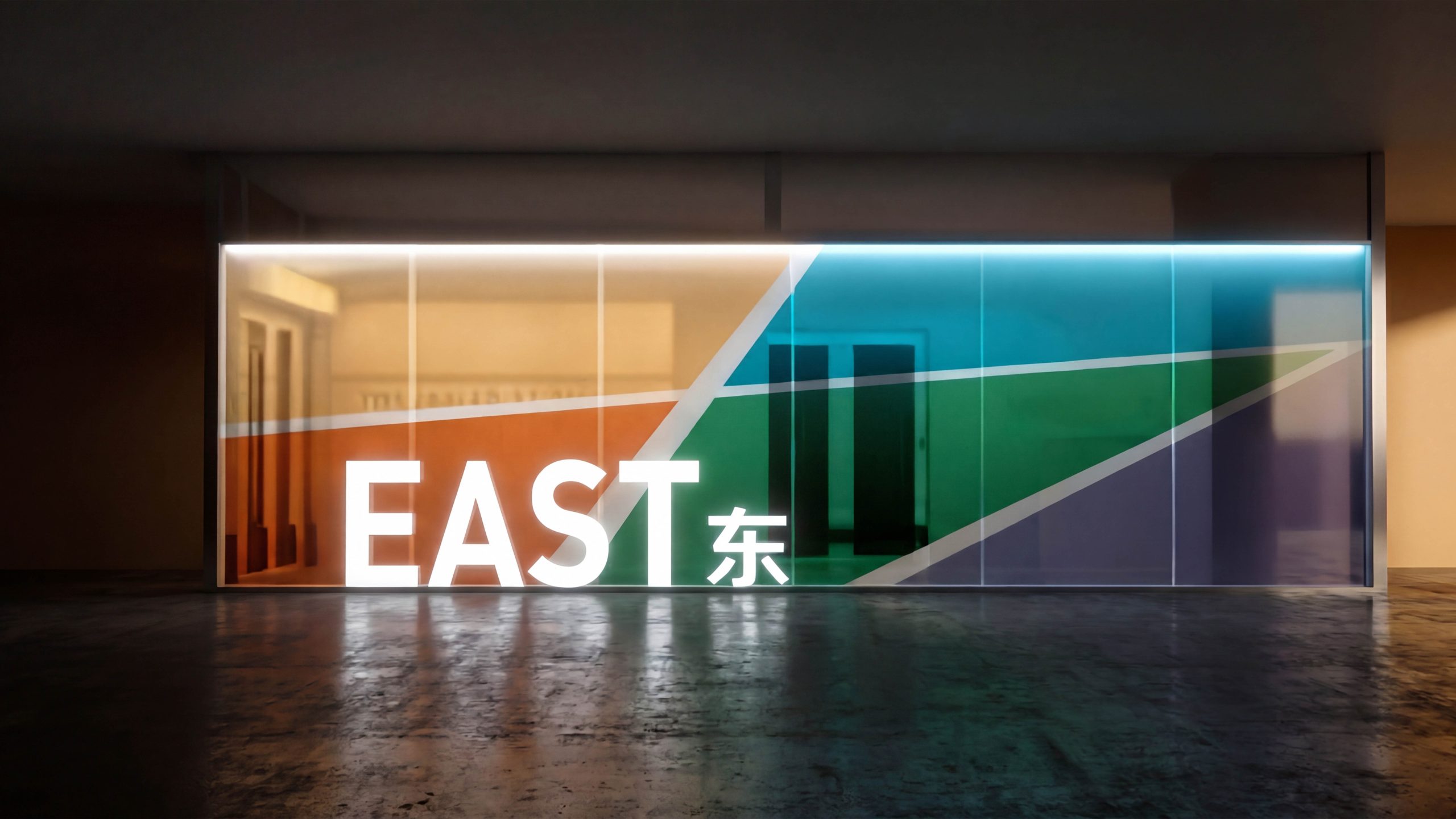
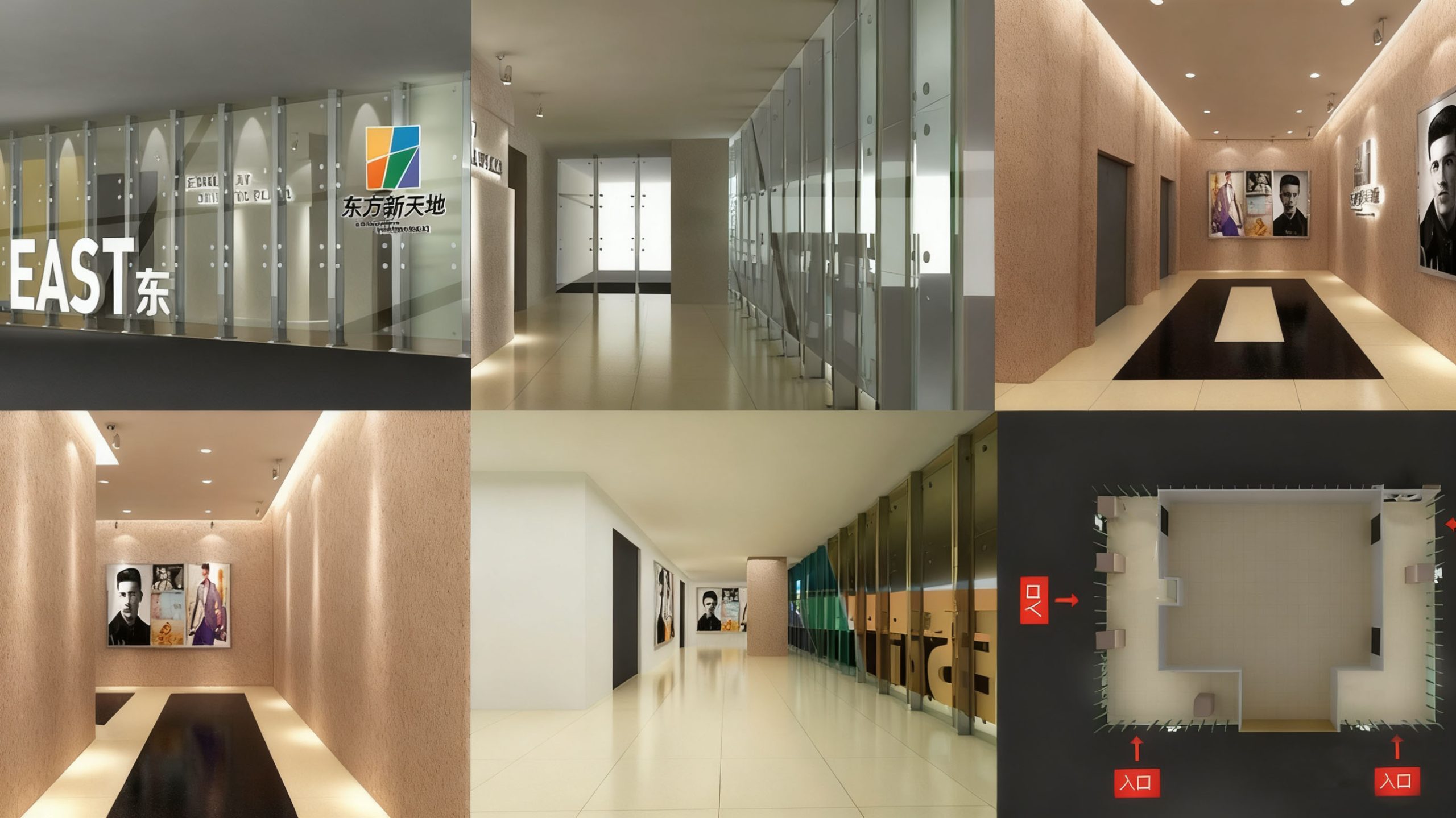
Scenario-based rollout. Streetscape and entrances: illuminated façade identification paired with projecting banners gives two viewing faces. Each entrance is identified by a lettered zone (EAST, WEST, etc.) and a color code, with floor guide lines leading straight to the atrium. Atrium and corridors: a floor overview and quick index orient visitors. Every corridor corner carries an advance turn prompt, and distance confirmation points appear every 12–15 m. Vertical circulation: elevator landings list destinations, floors and estimated walking times. Escalator entrances preview up and down destination floors so visitors don’t end up on the wrong level. Tenant directories and storefront boundaries: directories are organized by zone, category, store name and location code. Storefront sign height and brightness stay within set limits so they don’t compete with primary wayfinding. Parking: tall entrance pylons match the floor color bands. Parking columns display a zone letter and number on both sides, and elevator lobbies list what’s upstairs and the nearest categories. Safety and accessibility: evacuation maps, fire extinguishers, AEDs, nursing rooms and accessible elevators share unified templates. Minimum illuminance and repeated confirmation signage are maintained at night.
Delivery and operation and maintenance mechanism
An operational loop built on an asset register, template library and data integration. Every sign carries a unique code with installation and maintenance records. Tenant changes, event information and temporary diversions are generated from templated files in one click and printed locally, with updates completed in under five minutes. QR codes link to live floor plans, tenant directories and emergency SOPs, and inspection checklists define frequency, tolerances, cleaning and illuminance requirements. Deliverables include the wayfinding master plan and location drawings, layout and icon standards, hardware exploded views and bills of materials, mounting heights and optical parameters, and operations SOPs with training materials. The system can be replicated quickly as new buildings are added or existing ones renovated, sustaining clear order, stable legibility and a consistent brand image over the long term.